

Newtown Borough
Main Street, Newtown, CT 06470
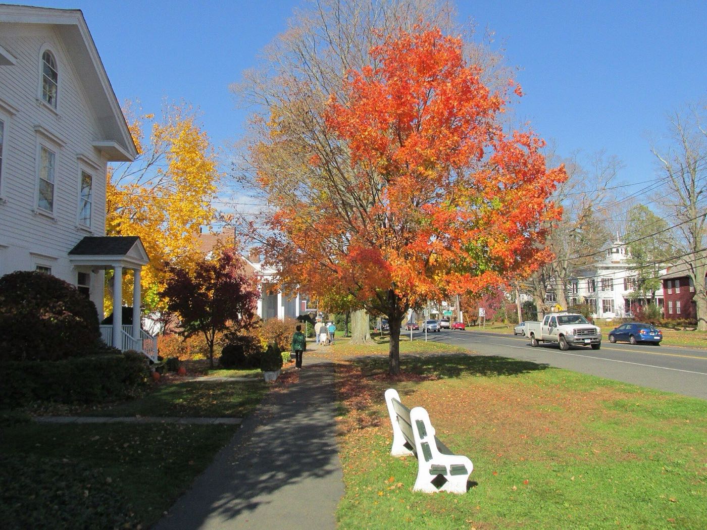
Newtown is a Fairfield County town in the Greater Danbury area, made up of Newtown Borough (the town center), Sandy Hook, Hawleyville, Botsford and several smaller communities. Its northeastern border follows the Housatonic River. English colonists purchased the site from the Pohtatuck people in 1705, and the town was incorporated in 1711.
Newtown Borough, Hawleyville and Botsford use 06470; Sandy Hook uses 06482.
| Area | Zip code | Where it is |
|---|---|---|
| Newtown Borough | 06470 | The town center along Main Street, the historic commercial and civic core. |
| Sandy Hook | 06482 | A village along the Pootatuck River in the southeastern part of town, including the Berkshire, Riverside, Walnut Tree Hill and Zoar areas. |
| Hawleyville | 06470 | A former railroad crossroads village in the western part of town. |
| Botsford | 06470 | A village in the southern part of town. |
Newtown covers about 59.1 square miles and borders Bethel, Bridgewater, Brookfield, Easton, Monroe, Oxford, Redding and Southbury. It was incorporated in 1711.
Start with Rocky Glen State Park and Paugussett State Forest, then 1 more below.
A small state park in the Sandy Hook area with woods and a stream, used for walking.
Sandy Hook, Newtown, CT
A state forest with tracts in Newtown and neighboring towns along the Housatonic River, used for hiking.
Newtown, CT
A town park (Timothy B. Treadwell Memorial Park) in the Sandy Hook area.
Sandy Hook, Newtown, CT
In 1705, English colonists purchased the townsite, then known as Quanneapague, from the Pohtatuck people; migrants from Stratford settled it and it was incorporated as Newtown in 1711.
French general Rochambeau's troops encamped in Newtown in 1781 while marching toward the siege of Yorktown during the Revolutionary War.
The board game Scrabble was developed in Newtown by James Brunot; local industry historically included furniture, tea bags, combs, and mica and feldspar mining.
Newtown's outdoor land includes state park and forest tracts along the Housatonic and Pootatuck Rivers.
Newtown Borough's Main Street has a walkable stretch of shops, civic buildings and churches; Sandy Hook's small center is similarly walkable, but most of the town's 59 square miles is rural and requires a car.
Main Street, Newtown, CT 06470
Approximate, without traffic.
HART (Housatonic Area Regional Transit) provides bus service in the Danbury/Newtown area; there is no passenger rail station within Newtown.
Newtown's 2026–27 mill rate is 29.26, which is $29.26 of tax for every $1,000 of assessed value. Some areas also pay a fire or special district tax on top of that. Connecticut taxes a home at 70% of its appraised value, so every $100,000 of value costs about $2,048 a year in taxes at 29.26 mills.
| 12 months ending | Single-family | Condo |
|---|---|---|
| Sep 2024 | $605,500280 sales | $493,50022 sales |
| Sep 2025 | $625,000315 sales | $500,00038 sales |
October to September, state records. Text us for this month's sales.
29.26mills, fiscal year 2026–27
| Fiscal year | Town rate |
|---|---|
| 2022–23 | 34.67 |
| 2023–24 | 26.24 |
| 2024–25 | 26.97 |
| 2025–26 | 28.74 |
| 2026–27 | 29.26 |
Newtown's town rate went from 34.67 in 2022–23 to 29.26 in 2026–27. Next revaluation: October 1, 2026.
What we check on a Newtown purchase: CHFA limits, the flood map.
CHFA sets Newtown's income and price limits for Fairfield County. We check them with you before you shop.
See CHFA's limits mapThe Housatonic River forms Newtown's northeastern border and the Pootatuck River runs through Sandy Hook; low-lying parcels near both rivers can fall in FEMA flood zones. We check FEMA's map before you offer.
FEMA's flood map for NewtownAll loans are subject to credit approval, underwriting, and property and program requirements. CHFA and USDA limits and eligibility are set by those agencies and change from time to time.

Send us a Newtown address and we'll run the numbers, taxes included.
Who to call in Newtown: Eversource for power.
Newtown Town Hall. Each link opens that office's page on the town's website.
The short answers. Call or text us for the long ones.
Newtown's 2026–27 mill rate is 29.26, which is $29.26 of tax for every $1,000 of assessed value. Some areas also pay a fire or special district tax on top of that. The motor vehicle rate is 29.26 mills.
Connecticut assesses homes at 70% of appraised value, so a $500,000 home would be assessed at about $350,000. At 29.26 mills that's about $10,241 a year, or about $853 a month, before any district tax. The actual bill depends on the town assessor's appraisal, not the price you pay.
In the 12 months from October 2024 through September 2025, the median single-family sale in Newtown was $625,000 across 315 sales, compared with $605,500 the year before. The median condo sale was $500,000 across 38 sales.
Newtown's next revaluation takes effect October 1, 2026, on the state's schedule. The new assessments first show up on the tax bills due in July 2027.
Fairfield County, in the Western Connecticut Planning Region.
06470 for Newtown Borough, Hawleyville and Botsford; Sandy Hook uses 06482.
About 12 miles, roughly a 20-minute drive.
No passenger rail station is in Newtown; HART provides area bus service.
The Housatonic River forms the northeastern town border, and the Pootatuck River runs through Sandy Hook.
Neighbors of Newtown in Fairfield County and nearby. All Fairfield County towns.