

MassHousing home loans
MassHousing sets income limits by community, and they depend on household size and loan program. We check them with you before you shop.
MassHousing home loans (opens in a new tab)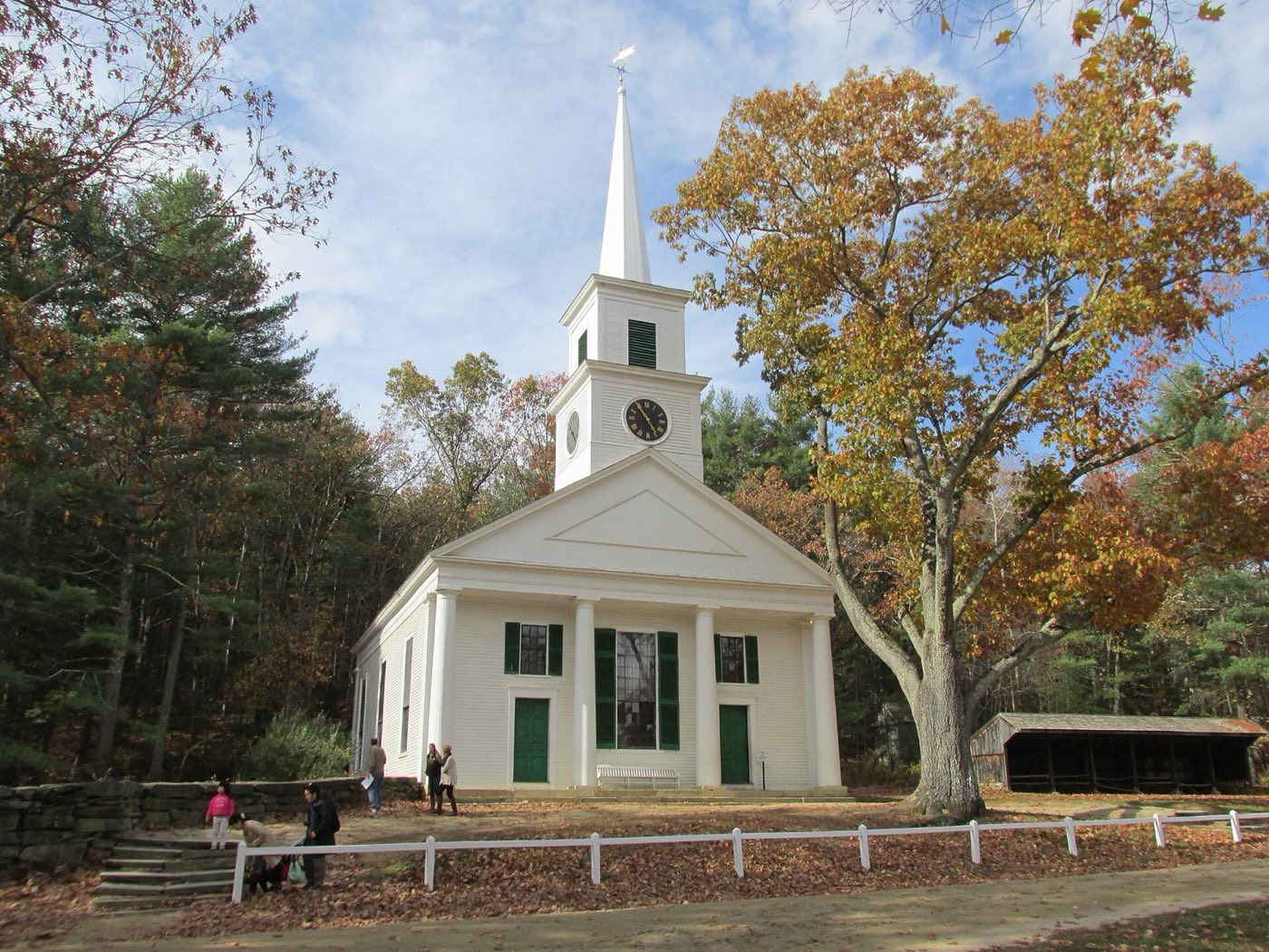
Sturbridge is a town in southern Worcester County at the junction of Interstate 90 (the Massachusetts Turnpike) and Interstate 84, about 16 miles southwest of Worcester. Settled in 1729 and incorporated in 1738, it took its name from Stourbridge, England. It is best known as the home of Old Sturbridge Village, an outdoor living history museum depicting 19th-century rural New England life.
Sturbridge center uses 01566; the Fiskdale section uses its own ZIP code, 01518.
| Area | Zip code | Where it is |
|---|---|---|
| Sturbridge center | 01566 | Along Main Street (Route 131) near the Town Common and Old Sturbridge Village. |
| Fiskdale | 01518 | A village section in the western part of town, along Route 20. |
Start with Old Sturbridge Village and Wells State Park, then 1 more below.
The largest outdoor living history museum in New England, depicting rural New England life in the 19th century with historic buildings, costumed interpreters and heritage-breed animals.
1 Old Sturbridge Village Rd, Sturbridge, MA 01566
Plan a visit to Old Sturbridge Village (opens in a new tab)A 1,400-acre state park with about 10 miles of trails, camping, and Walker Pond for swimming, fishing and canoeing.
Sturbridge, MA
A Trustees of Reservations property that was the site of graphite mining by John Winthrop the Younger in the 1640s, now open space with trails.
Sturbridge, MA
Sturbridge was settled in 1729 by colonists from Medfield and incorporated as a town in 1738, taking its name from Stourbridge, England.
John Winthrop the Younger mined graphite, lead and iron in the 1640s at what is now the Tantiusques reservation, predating the town's settlement.
Old Sturbridge Village opened as a living history museum recreating rural New England life from the 1790s to the 1830s.
Wells State Park and the Tantiusques reservation give Sturbridge trails, camping and a pond for swimming and paddling.
Sturbridge center along Main Street has sidewalks near the Town Common and Old Sturbridge Village, but the town's commercial strips along Route 20 and its residential areas are built for driving.
Approximate, without traffic.
Sturbridge sits at the junction of Interstate 90 (the Massachusetts Turnpike) and Interstate 84, with U.S. Route 20 also passing through. There is no train station in town.
Sturbridge's most recent certified residential tax rate is $15.46 per $1,000 of assessed value, for FY2027 (July 2026 to June 2027). Massachusetts assesses homes at full value, so each $100,000 of assessed value costs about $1,546 a year. The average single-family tax bill was $8,085, on an average assessed value of $522,949.
$15.46per $1,000, residential
Source: Massachusetts Division of Local Services, Tax Rates by Class and Average Single Family Tax Bill.
| Fiscal year | Residential rate |
|---|---|
| FY2022 | $19.15 |
| FY2023 | $18.07 |
| FY2024 | $16.49 |
| FY2025 | $15.93 |
| FY2026 | $15.60 |
| FY2027 | $15.46 |
Things to look into on a Sturbridge purchase: MassHousing limits, the flood map, the smoke certificate, foundations.
MassHousing sets income limits by community, and they depend on household size and loan program. We check them with you before you shop.
MassHousing home loans (opens in a new tab)The Quinebaug River and its tributaries, along with Walker Pond and other ponds in town, put some low-lying parcels in Sturbridge within FEMA-mapped flood zones. We take an early look at FEMA's map before you offer. That's not a flood determination: the official determination ordered with your loan decides whether flood insurance is required.
FEMA's flood map for Sturbridge (opens in a new tab)Massachusetts requires the seller to get a smoke and carbon monoxide certificate from the Sturbridge Fire Department before the sale closes.
The Massachusetts Geological Survey at UMass Amherst lists Sturbridge among the towns most at risk (within 20 miles) of the Connecticut concrete plant that distributed pyrrhotite-affected concrete, based on the 2019 state Special Commission report. On a home with a poured concrete foundation, ask whether it has been tested.
UMass pyrrhotite guide (opens in a new tab)Massachusetts sellers need a smoke and carbon-monoxide detector compliance certificate from the local Fire Department before a home can close. We build that inspection into the closing timeline.
All loans are subject to credit approval, underwriting, and property and program requirements. MassHousing limits and eligibility are set by MassHousing and change from time to time.

We're licensed in Massachusetts. Send us a Sturbridge address and we'll run the numbers, taxes included.
Who to call in Sturbridge.
Sturbridge Town Hall.
Sturbridge's most recent certified residential tax rate is $15.46 per $1,000 of assessed value, for FY2027 (July 2026 to June 2027). Massachusetts fiscal years run July 1 to June 30.
Massachusetts taxes homes on their full assessed value. If a home is assessed at $400,000, that's about $6,184 a year at $15.46 per $1,000. The bill uses the assessor's value, not the sale price.
No. Sturbridge uses a single rate of $15.46 per $1,000 for all property classes.
The average single-family tax bill in Sturbridge was $8,085 for FY2027, on an average assessed value of $522,949.
Sturbridge is in Worcester County.
Sturbridge center uses 01566; the Fiskdale section uses 01518.
Old Sturbridge Village is an outdoor living history museum in town depicting rural New England life from the 1790s to the 1830s.
Sturbridge is about 16 miles from Worcester, roughly a 25-30 minute drive.
No. Sturbridge has no train station; it sits at the junction of Interstate 90 and Interstate 84.
Sturbridge borders Charlton, Southbridge, Brimfield, Holland, Brookfield and East Brookfield in Massachusetts, and Union and Woodstock, Connecticut.
Neighbors of Sturbridge, including across the Connecticut line where it applies. All Massachusetts town guides.