

First-time buyer programs
MassHousing sets its own income and price limits for Plymouth County. We check them with you before you shop.
MassHousing home loans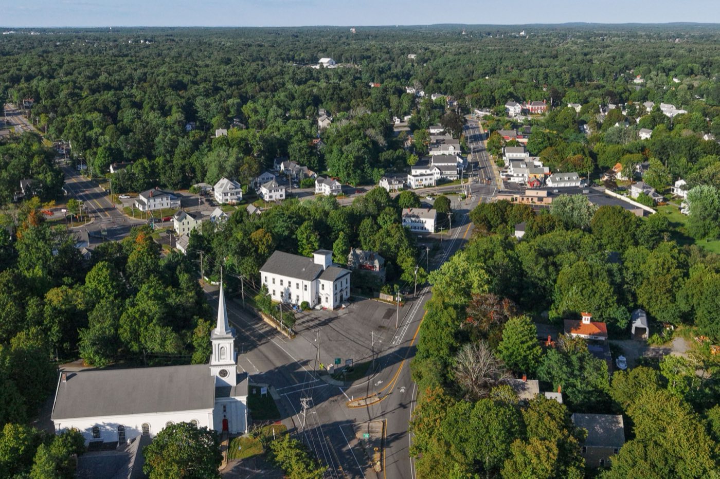
Abington is a town in Plymouth County, about 20 miles southeast of Boston and adjacent to Brockton on its west side. First settled by Europeans in 1668 and incorporated in 1712, it was named in 1706 for Anne Venables-Bertie, Countess of Abingdon. The Shumatuscacant River forms its western border with Brockton, and Ames Nowell State Park occupies the town's northwestern corner around Cleveland Pond.
Abington uses a single ZIP code, 02351, for the whole town.
| Area | Zip code | Where it is |
|---|---|---|
| Abington center | 02351 | Around Town Hall on Gliniewicz Way and the surrounding commercial district. |
| North Abington | 02351 | The northern section of town near the Weymouth and Rockland lines. |
Start with Ames Nowell State Park and Island Grove Park, then 1 more below.
A state park in Abington's northwestern corner built around Cleveland Pond, with trails for hiking, mountain biking and, in winter, cross-country skiing, plus a boat launch on the pond.
Off Hancock St, Abington, MA
Plan a visitA town park with ballfields, a pond and walking paths, used for recreation programs and town events.
Abington, MA
The town's public library, which opened its current building in 1997.
Abington, MA
Abington was first settled by Europeans in 1668 and incorporated as a town in 1712, named in 1706 by Governor Joseph Dudley for Anne Venables-Bertie, Countess of Abingdon.
In 1815, Jesse Reed invented a machine that mass-produced tacks in Abington, a development that helped establish the town's shoe-manufacturing industry.
The Shumatuscacant River, forming the town's border with Brockton, and Beaver Brook to the east powered the town's early mills.
Ames Nowell State Park anchors Abington's outdoor recreation, with Cleveland Pond and Island Grove Park adding more water and open space closer to the town center.
Abington's town center around Town Hall has sidewalks connecting municipal buildings and nearby shops, but most of the town, including its residential neighborhoods, is built for driving.
Approximate, without traffic.
An MBTA Kingston Line commuter rail station serves Abington with service toward Boston's South Station. Local roads include Routes 18, 58, 123 and 139.
Abington's FY2026 residential tax rate is $12.81 per $1,000 of assessed value. Massachusetts assesses homes at full value, so each $100,000 of assessed value costs about $1,281 a year. The average single-family tax bill was $7,536, on an average assessed value of $588,289.
$12.81per $1,000, residential
Source: Massachusetts Division of Local Services, Tax Rates by Class and Average Single Family Tax Bill.
| Fiscal year | Residential rate |
|---|---|
| FY2022 | $15.22 |
| FY2023 | $14.21 |
| FY2024 | $13.38 |
| FY2025 | $13.06 |
| FY2026 | $12.81 |
What we check on a Abington purchase: MassHousing limits, the flood map, the smoke certificate, curbside with a transfer station option, state park on the town line.
MassHousing sets its own income and price limits for Plymouth County. We check them with you before you shop.
MassHousing home loansLand along the Shumatuscacant River on the Brockton border, Beaver Brook to the east, and Cleveland Pond in Ames Nowell State Park can put nearby parcels in FEMA flood zones. We check FEMA's map before you offer.
FEMA's flood map for AbingtonMassachusetts requires the seller to get a smoke and carbon monoxide certificate from the Abington Fire Department before the sale closes.
Abington Fire Department pageAbington provides mandatory weekly curbside trash and recycling collection, with container limits of 35 gallons or 50 pounds; the Groveland Street Transfer Station handles bulky items and extra loads for a fee based on weight.
Abington TrashAmes Nowell State Park sits in Abington's northwestern corner around Cleveland Pond; nearby low-lying parcels can fall within FEMA flood zones tied to the pond and the Shumatuscacant River.
All loans are subject to credit approval, underwriting, and property and program requirements. MassHousing limits and eligibility are set by MassHousing and change from time to time.

We're licensed in Massachusetts. Send us a Abington address and we'll run the numbers, taxes included.
Who to call in Abington: National Grid, with a town Community Choice Power Supply (aggregation) program for supply for power.
231 Groveland St, Abington, MA 02351 Monday-Saturday, 7:00am-5:00pm
Fees assessed by weight, with a minimum charge for small loads; resident ID required
Transfer station detailsAbington Town Hall is at 500 Gliniewicz Way, Abington, MA 02351. Hours: Monday-Thursday 8:30am-4:30pm, Friday 8:30am-12:30pm. Main line: 781-982-2112.
Abington's FY2026 residential tax rate is $12.81 per $1,000 of assessed value. Massachusetts fiscal years run July 1 to June 30.
Massachusetts taxes homes on their full assessed value. If a home is assessed at $400,000, that's about $5,124 a year at $12.81 per $1,000. The bill uses the assessor's value, not the sale price.
No. Abington uses a single rate of $12.81 per $1,000 for all property classes.
The average single-family tax bill in Abington was $7,536 for FY2026, on an average assessed value of $588,289.
Abington is in Plymouth County.
Yes. Abington has an MBTA Kingston Line commuter rail station with service toward Boston's South Station.
Yes, Abington runs mandatory weekly curbside trash and recycling collection, with a Transfer Station on Groveland Street available for bulky items and extra loads.
National Grid is the electric utility, and the town also runs a Community Choice Power Supply aggregation program.
Abington is about 20 miles southeast of Boston.
Abington borders Holbrook, Weymouth, Rockland, Whitman and Brockton.
Neighbors of Abington, including across the Connecticut line where it applies. All Massachusetts town guides.