

Burlington center
200 Spielman Highway, Burlington, CT 06013
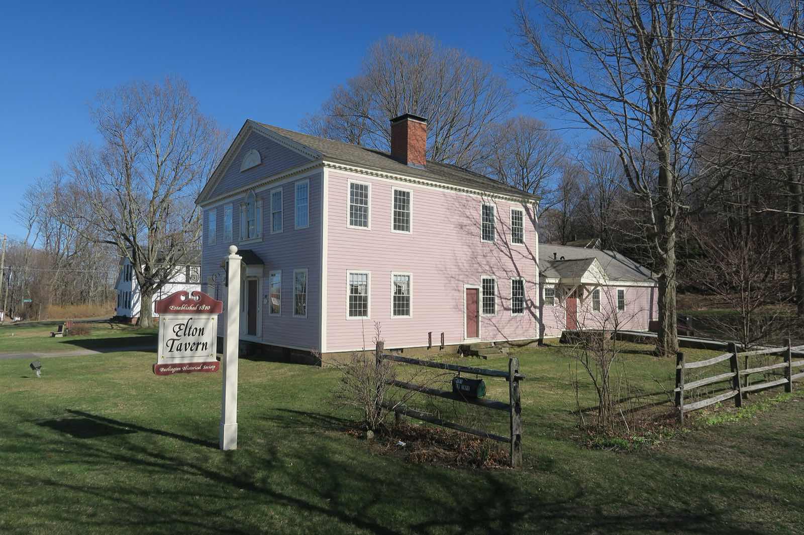
Burlington is a town in Hartford County in the Northwest Hills, about 20 miles west of Hartford. It has no traditional downtown; its village center, Lake Garda, Whigville and Covey Corners are spread across a hilly, wooded landscape that includes Johnnycake Mountain, the town's highest point at 1,165 feet.
All of Burlington uses ZIP code 06013.
| Area | Zip code | Where it is |
|---|---|---|
| Burlington center | 06013 | The area around Town Hall on Spielman Highway (Route 4), where municipal offices and the public library are located. |
| Lake Garda | 06013 | A lake community in Burlington built around Lake Garda. |
| Whigville | 06013 | A rural section of town with the Whigville Grange hall. |
| Covey Corners | 06013 | A hamlet in Burlington. |
Burlington covers about 30.4 square miles and borders Avon, Bristol, Canton, Farmington, Harwinton, New Hartford and Plymouth. It was incorporated in 1806.
Start with Sessions Woods Wildlife Management Area and Nassahegon State Forest, then 2 more below.
A 771-acre state property with a conservation education center and displays on local wildlife, plus trails through woods and fields. Run by the CT Department of Energy and Environmental Protection.
341 Milford Street (Route 69), Burlington
Plan a visitA state forest in Burlington with multi-use trails through woodland, connecting to the wider Tunxis Trail system.
Burlington
A community grange hall in the Whigville section of town that hosts local events.
Whigville
The town's public library, just off Spielman Highway in Burlington center.
34 Library Lane, Burlington
Plan a visitThe land now called Burlington was originally inhabited by the Tunxis people before European settlement.
Burlington separated from Farmington Plantation in 1785 and was part of Bristol before becoming its own town in 1806.
The town had early clock-making industries that declined after the Farmington Canal opened in 1829; the later New Haven and Northampton Railroad branch through town was abandoned in 1968 after the Collins Company factory closed in 1966, and the rail bed became a trail.
Burlington's outdoor recreation centers on its state forest and wildlife management land and the Tunxis Trail system that runs through town.
4 places in Burlington to try, including italian restaurant/pizzeria and american restaurant. No one paid to be listed.
Italian restaurant/pizzeria
An Italian restaurant and pizzeria on Spielman Highway in Burlington.
258 Spielman Hwy, Burlington, CT 06013 · oliviastrattoriapizzeria.com
American restaurant
A restaurant on Spielman Highway serving American food.
292 Spielman Hwy, Burlington, CT 06013 · enclavegrille.com
Pizzeria/restaurant
A pizzeria and restaurant in Burlington.
Burlington, CT 06013
Chinese restaurant
A Chinese restaurant in Burlington.
Burlington, CT 06013
Burlington has no traditional walkable downtown. Its village areas, Lake Garda, Whigville and the town center along Spielman Highway, are spread out along rural roads, and a car is necessary to get between them and to most destinations in town.
200 Spielman Highway, Burlington, CT 06013
Approximate, without traffic.
Burlington has no passenger rail station and no fixed-route local bus service; residents drive or use regional paratransit and rideshare options. The nearest Amtrak/CTrail service is in Hartford, about 20 miles east.
Burlington's 2026–27 mill rate is 27.30, which is $27.30 of tax for every $1,000 of assessed value. Connecticut taxes a home at 70% of its appraised value, so every $100,000 of value costs about $1,911 a year in taxes at 27.30 mills.
| 12 months ending | Single-family | Condo |
|---|---|---|
| Sep 2025 | $600,00087 sales | – |
October to September, state records. Text us for this month's sales.
27.30mills, fiscal year 2026–27
| Fiscal year | Town rate |
|---|---|
| 2022–23 | 32.70 |
| 2023–24 | 32.20 |
| 2024–25 | 25.90 |
| 2025–26 | 26.60 |
| 2026–27 | 27.30 |
Burlington's town rate went from 32.70 in 2022–23 to 27.30 in 2026–27. Next revaluation: October 1, 2028.
What we check on a Burlington purchase: CHFA limits, the flood map and private wells and septic.
CHFA sets Burlington's income and price limits for Hartford County. We check them with you before you shop.
See CHFA's limits mapParts of Burlington near Lake Garda and along local brooks and the Nepaug River watershed can fall within FEMA flood zones; the town's GIS mapping shows flood zone boundaries. We check FEMA's map before you offer.
FEMA's flood map for BurlingtonMost homes in Burlington are on private wells and septic systems rather than town water and sewer. We recommend a well-flow and septic inspection as part of due diligence on any purchase here.
All loans are subject to credit approval, underwriting, and property and program requirements. CHFA and USDA limits and eligibility are set by those agencies and change from time to time.

Send us a Burlington address and we'll run the numbers, taxes included.
Who to call in Burlington: Eversource for power.
Burlington Town Hall is at 200 Spielman Highway, Burlington, CT 06013. Hours: Monday–Thursday 8am–4pm; Friday 8am–12:30pm. Main line: (860) 673-6789. Each link opens that office's page on the town's website.
The short answers. Call or text us for the long ones.
Burlington's 2026–27 mill rate is 27.30, which is $27.30 of tax for every $1,000 of assessed value. The motor vehicle rate is 27.30 mills.
Connecticut assesses homes at 70% of appraised value, so a $500,000 home would be assessed at about $350,000. At 27.30 mills that's about $9,555 a year, or about $796 a month. The actual bill depends on the town assessor's appraisal, not the price you pay.
In the 12 months from October 2024 through September 2025, the median single-family sale in Burlington was $600,000 across 87 sales.
Burlington's next revaluation takes effect October 1, 2028, on the state's schedule. The new assessments first show up on the tax bills due in July 2029.
Burlington is in Hartford County, in the Northwest Hills Planning Region.
06013, used townwide.
No. Burlington has no passenger rail station and no fixed-route local bus service.
About 20 miles, roughly 30–35 minutes by car.
No. Most homes in Burlington rely on private wells and septic systems.
200 Spielman Highway (Route 4), Burlington, CT 06013.
Neighbors of Burlington in Hartford County and nearby. All Hartford County towns.