

West Boylston center
140 Worcester Street, West Boylston, MA 01583
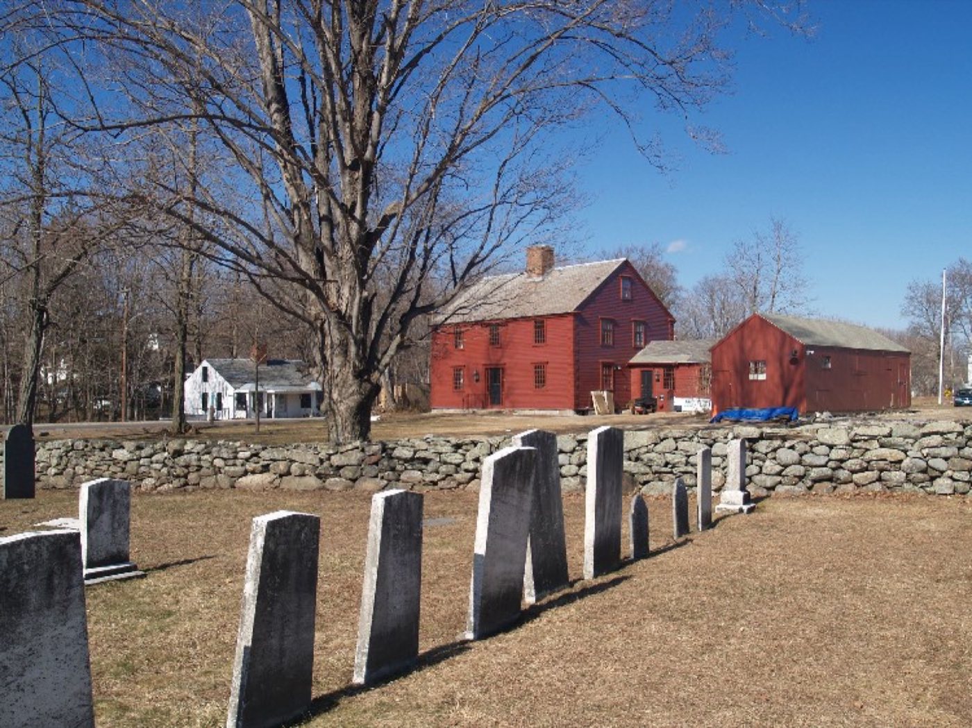
West Boylston is a town in Worcester County directly north of the city of Worcester, settled in 1642 and incorporated in 1808 out of a dispute between Boylston and West Boylston over where to locate a new meeting house. The Wachusett Reservoir, built for Boston's water supply, dominates the town's landscape: its construction in 1897 flooded 6.5 square miles and displaced about 1,700 residents, reshaping the town's geography permanently.
West Boylston's main village uses ZIP code 01583; a small section of town along the Worcester line uses 01606.
| Area | Zip code | Where it is |
|---|---|---|
| West Boylston center | 01583 | The town's main village, where Town Hall and the Beaman Memorial Public Library are located. |
| Oakdale | A village section of town along Route 140. |
Start with Wachusett Reservoir and Old Stone Church, then 1 more below.
A large public water-supply reservoir built in 1897-1908 for the city of Boston, with shoreline access roads and views over the water. The reservoir's construction flooded 6.5 square miles of the original town center.
Along Route 12 and the Worcester line
A former Congregational church built of Rattlesnake Hill granite in the 1890s, left standing at the edge of the reservoir when the surrounding village was flooded. It is one of the most photographed sites near the Wachusett Reservoir.
Route 12, West Boylston, MA
The town's public library, established in 1878, with regular programming and a children's room.
8 Newton Street, West Boylston, MA 01583
Plan a visitThe area was settled by Europeans in 1642 as part of Boylston, and West Boylston was incorporated as a separate town in 1808 after a dispute over the location of a new town meeting house.
In 1897 the Nashua River in neighboring Clinton was impounded by the Wachusett Dam to supply water to Boston, flooding about 6.5 square miles of West Boylston and displacing roughly 1,700 residents and numerous buildings.
Robert Bailey Thomas, founder of the Old Farmer's Almanac, was a resident of West Boylston.
The Wachusett Reservoir shapes most of West Boylston's outdoor recreation, from shoreline roads and overlooks to fishing access.
West Boylston center has sidewalks around Town Hall, the library and nearby businesses along Route 12 and Route 140, but most of the town is built for driving, especially the residential roads near the reservoir.
140 Worcester Street, West Boylston, MA 01583
Approximate, without traffic.
West Boylston has no passenger rail station; the nearest is Union Station in Worcester. Local bus service in the area is provided by the Worcester Regional Transit Authority (WRTA).
West Boylston's FY2026 residential tax rate is $14.53 per $1,000 of assessed value. Massachusetts assesses homes at full value, so each $100,000 of assessed value costs about $1,453 a year. The average single-family tax bill was $7,621, on an average assessed value of $524,514.
$14.53per $1,000, residential
Source: Massachusetts Division of Local Services, Tax Rates by Class and Average Single Family Tax Bill.
| Fiscal year | Residential rate |
|---|---|
| FY2022 | $17.68 |
| FY2023 | $15.58 |
| FY2024 | $14.78 |
| FY2025 | $13.87 |
| FY2026 | $14.53 |
What we check on a West Boylston purchase: MassHousing limits, the flood map, the smoke certificate, municipal electric, reservoir watershed.
MassHousing sets its own income and price limits for Worcester County. We check them with you before you shop.
MassHousing home loansThe Wachusett Reservoir and the Quinapoxet and Stillwater rivers that feed it put low-lying parcels near the shoreline in FEMA-mapped flood zones. We check FEMA's map before you offer.
FEMA's flood map for West BoylstonMassachusetts requires the seller to get a smoke and carbon monoxide certificate from the West Boylston Fire Department before the sale closes.
Electric service comes from the West Boylston Municipal Light Plant, a town-owned utility established in 1909, rather than a private company like National Grid or Eversource. Buyers should set up service with WBMLP directly when moving in.
WBMLPThe Wachusett Reservoir, which supplies drinking water to metropolitan Boston, borders large sections of West Boylston and is subject to state DCR watershed protection rules. Buyers near the shoreline should ask about any applicable watershed restrictions before making an offer.
All loans are subject to credit approval, underwriting, and property and program requirements. MassHousing limits and eligibility are set by MassHousing and change from time to time.

We're licensed in Massachusetts. Send us a West Boylston address and we'll run the numbers, taxes included.
Who to call in West Boylston: West Boylston Municipal Light Plant (WBMLP), a town-owned electric utility established in 1909 for power.
West Boylston Town Hall is at 140 Worcester Street, West Boylston, MA 01583.
West Boylston's FY2026 residential tax rate is $14.53 per $1,000 of assessed value. Massachusetts fiscal years run July 1 to June 30.
Massachusetts taxes homes on their full assessed value. If a home is assessed at $400,000, that's about $5,812 a year at $14.53 per $1,000. The bill uses the assessor's value, not the sale price.
No. West Boylston uses a single rate of $14.53 per $1,000 for all property classes.
The average single-family tax bill in West Boylston was $7,621 for FY2026, on an average assessed value of $524,514.
West Boylston is in Worcester County.
The West Boylston Municipal Light Plant (WBMLP), a town-owned utility established in 1909, supplies electricity to the town.
West Boylston's main village uses ZIP code 01583.
West Boylston is about 8 miles from downtown Worcester, roughly a 15-20 minute drive.
Yes. The Wachusett Reservoir, built in 1897-1908 to supply water to Boston, borders much of the town and flooded part of the original town center when it was built.
West Boylston borders Sterling, Holden, Worcester, Shrewsbury and Boylston, all in Massachusetts.
Neighbors of West Boylston, including across the Connecticut line where it applies. All Massachusetts town guides.