

First-time buyer programs
MassHousing sets its own income and price limits for Franklin County. We check them with you before you shop.
MassHousing home loans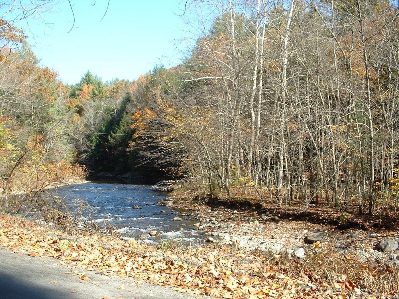
Colrain is a town in Franklin County on the Vermont line, in the northeastern Berkshire foothills. The Green River forms its eastern border and the North River's branches meet in town. First settled in 1735 and incorporated in 1761, Colrain took its name from Lord Coleraine, an Irish peer; in May 1812 it became the first town in the United States to fly the U.S. flag over a public schoolhouse.
Colrain uses a single ZIP code, 01340, for the whole town.
| Area | Zip code | Where it is |
|---|---|---|
| Colrain center | 01340 | Along Main Road (Route 112), where Town Hall and the Griswold Memorial Library are located; the center is a designated historic district. |
| Shattuckville | 01340 | A village along the North River in southeastern Colrain. |
| Griswoldville | 01340 | A former mill village along the North River. |
| Lyonsville | 01340 | A village in southern Colrain along Route 112. |
Start with Colrain Center Historic District and Catamount State Forest.
A historic district around the town center that has changed little in roughly 150 years, listed on the National Register of Historic Places.
Main Road, Colrain, MA
State forest land in Colrain with trails through the northeastern Berkshire hills.
Colrain, MA
Colrain was first settled in 1735 and incorporated in 1761, taking its name from Lord Coleraine, an Irish peer.
In May 1812, Colrain became the first town in the United States to fly the U.S. flag over a public schoolhouse.
The Colrain town center was declared a historic district in 2006, its layout largely unchanged for about 150 years.
The Green River forms Colrain's eastern border and the North River's branches meet in town, with Catamount and H.O. Cook State Forests providing hill terrain for hiking near the Vermont line.
Colrain's town center has sidewalks near Town Hall and the historic district, but the town is large and rural, spread across hills and river valleys, and a car is needed for most errands.
Approximate, without traffic.
Colrain has no fixed-route public transit or train station of its own; the nearest Amtrak service is at the Greenfield station, about 15-20 minutes away.
Colrain's FY2026 residential tax rate is $17.82 per $1,000 of assessed value. Massachusetts assesses homes at full value, so each $100,000 of assessed value costs about $1,782 a year. The average single-family tax bill was $4,791, on an average assessed value of $268,881.
$17.82per $1,000, residential
Source: Massachusetts Division of Local Services, Tax Rates by Class and Average Single Family Tax Bill.
| Fiscal year | Residential rate |
|---|---|
| FY2022 | $20.48 |
| FY2023 | $19.63 |
| FY2024 | $18.98 |
| FY2025 | $18.26 |
| FY2026 | $17.82 |
What we check on a Colrain purchase: MassHousing limits, the flood map, the smoke certificate, no curbside trash, rural utilities.
MassHousing sets its own income and price limits for Franklin County. We check them with you before you shop.
MassHousing home loansThe Green River forms Colrain's eastern border and the North River's branches run through town; low-lying parcels along these rivers fall within FEMA-mapped flood zones. We check FEMA's map before you offer.
FEMA's flood map for ColrainMassachusetts requires the seller to get a smoke and carbon monoxide certificate from the Colrain Fire Department before the sale closes. Call 413-624-5528 to schedule.
Colrain Fire Department pageColrain has no curbside trash pickup; residents haul trash to the town transfer station and buy bag stickers, which is worth factoring into moving plans.
Colrain is a large, rural Franklin County town; buyers should confirm whether a specific property relies on a private well and septic system, and whether natural gas service reaches it, before making an offer.
All loans are subject to credit approval, underwriting, and property and program requirements. MassHousing limits and eligibility are set by MassHousing and change from time to time.

We're licensed in Massachusetts. Send us a Colrain address and we'll run the numbers, taxes included.
Who to call in Colrain: Eversource; Colrain also runs a Community Choice Power Supply Program (municipal aggregation) with Dynegy Energy Services as supplier while Eversource continues to deliver electricity and handle billing. for power.
Year-round Saturdays, 8:00 am-4:00 pm; summer (first Tuesday in May through first Tuesday in October) Tuesdays 5:30-7:30 pm
Large bag stickers $2.00 each; contractor-size bags (34-55 gallon) $4.00 each; non-residents pay a $5.00 access fee
Transfer station detailsColrain Town Hall is at 55 Main Road, Colrain, MA 01340. Main line: 413-624-3454.
Colrain's FY2026 residential tax rate is $17.82 per $1,000 of assessed value. Massachusetts fiscal years run July 1 to June 30.
Massachusetts taxes homes on their full assessed value. If a home is assessed at $400,000, that's about $7,128 a year at $17.82 per $1,000. The bill uses the assessor's value, not the sale price.
No. Colrain uses a single rate of $17.82 per $1,000 for all property classes.
The average single-family tax bill in Colrain was $4,791 for FY2026, on an average assessed value of $268,881.
Colrain is in Franklin County.
Colrain uses a single ZIP code, 01340, for the whole town.
No. Residents bring bagged trash to the town transfer station and buy bag stickers.
Eversource delivers electricity in Colrain. The town also runs a Community Choice Power Supply Program that competitively bids the power supply.
Colrain is about 9 miles from Greenfield, roughly a 15-20 minute drive.
Colrain borders Heath, Charlemont, Shelburne, Greenfield and Leyden in Massachusetts, and Halifax and Guilford, Vermont.
Neighbors of Colrain, including across the Connecticut line where it applies. All Massachusetts town guides.