

Cheshire center
191 Church Street, Cheshire, MA 01225
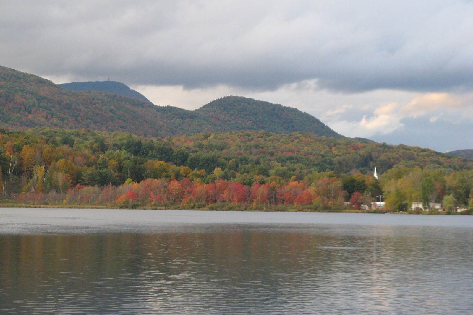
Cheshire is a town in the Hoosic River valley in northern Berkshire County, Massachusetts, founded by Baptist settlers from Rhode Island in 1766 and incorporated in 1793. The town includes a dammed reservoir on the Hoosic River, Cheshire Reservoir, and the Appalachian Trail crosses through the center of town. Cheshire is best known historically for the 1,235-pound "Cheshire cheese" its residents made as a gift for President Thomas Jefferson in 1801.
Cheshire uses a single ZIP code, 01225, for the whole town.
| Area | Zip code | Where it is |
|---|---|---|
| Cheshire center | 01225 | Along Church Street, where the Town Offices, library and village center are located. |
Start with Ashuwillticook Rail Trail and Cheshire Reservoir, then 2 more below.
An 11-mile paved rail trail connecting Lanesborough, Cheshire and Adams along the Hoosic River and Cheshire Reservoir, used for walking and biking.
Cheshire, MA
A dammed reservoir on the Hoosic River offering fishing and boating.
Cheshire, MA
Massachusetts's highest peak, with hiking trails; the reservation covers sections of western Cheshire.
Cheshire, MA
A hilltop site in Cheshire with a monument, listed on the town's own website as a point of interest.
Stafford Hill, Cheshire, MA
Cheshire was founded by Baptist settlers from Rhode Island in 1766 and incorporated as a town in 1793.
In 1801, Cheshire residents made a massive cheese, 4 feet in diameter, 18 inches thick and weighing 1,235 pounds, as a gift for President Thomas Jefferson.
The town's early economy included forges, saw mills, grist mills, tanneries and, from 1812, a glass company.
Cheshire sits in the Hoosic River valley between Mount Greylock and the Appalachian Trail, with the Ashuwillticook Rail Trail and Cheshire Reservoir providing flat, water-adjacent recreation.
Cheshire's small village center along Church Street has limited sidewalks, and the Ashuwillticook Rail Trail offers a car-free route to Lanesborough and Adams, but most of the town is built for driving.
191 Church Street, Cheshire, MA 01225
Approximate, without traffic.
BRTA bus routes serve the Route 8 corridor between Pittsfield and North Adams, which passes through Cheshire. The town has no train station.
Cheshire's FY2026 residential tax rate is $10.58 per $1,000 of assessed value. Massachusetts assesses homes at full value, so each $100,000 of assessed value costs about $1,058 a year. The average single-family tax bill was $3,586, on an average assessed value of $338,951.
$10.58per $1,000, residential
Source: Massachusetts Division of Local Services, Tax Rates by Class and Average Single Family Tax Bill.
| Fiscal year | Residential rate |
|---|---|
| FY2022 | $12.76 |
| FY2023 | $11.97 |
| FY2024 | $11.57 |
| FY2025 | $11.13 |
| FY2026 | $10.58 |
What we check on a Cheshire purchase: MassHousing limits, the flood map, the smoke certificate, transfer station, not curbside, title 5 septic, reservoir flood zone.
MassHousing sets its own income and price limits for Berkshire County. We check them with you before you shop.
MassHousing home loansCheshire is in the Hoosic River valley and includes Cheshire Reservoir, a dammed section of the river, so low-lying parcels near the river and reservoir can fall within FEMA flood zones. We check FEMA's map before you offer.
FEMA's flood map for CheshireMassachusetts requires the seller to get a smoke and carbon monoxide certificate from the Cheshire Fire Department before the sale closes.
Cheshire does not offer curbside trash pickup. Residents buy an annual transfer station permit and pay-as-you-throw tags to dispose of trash. Budget for this when comparing costs to towns with curbside service.
Cheshire's Board of Health, supported by the Berkshire Public Health Alliance, handles Title 5 septic inspections and well permitting for properties not on town water and sewer.
Cheshire Reservoir and the Hoosic River put some low-lying parcels in FEMA-mapped flood zones. We check the flood map before you make an offer on a property near the water.
All loans are subject to credit approval, underwriting, and property and program requirements. MassHousing limits and eligibility are set by MassHousing and change from time to time.

We're licensed in Massachusetts. Send us a Cheshire address and we'll run the numbers, taxes included.
Who to call in Cheshire.
191 Church Street, Cheshire, MA 01225 (permits/tags sold at Town Offices)
$150 per year (July 1, 2026-June 30, 2027); PAYT tags $5 per sheet or $1 each
Transfer station detailsCheshire Town Offices is at 191 Church Street, Cheshire, MA 01225. Main line: 413-743-1690.
Cheshire's FY2026 residential tax rate is $10.58 per $1,000 of assessed value. Massachusetts fiscal years run July 1 to June 30.
Massachusetts taxes homes on their full assessed value. If a home is assessed at $400,000, that's about $4,232 a year at $10.58 per $1,000. The bill uses the assessor's value, not the sale price.
No. Cheshire uses a single rate of $10.58 per $1,000 for all property classes.
The average single-family tax bill in Cheshire was $3,586 for FY2026, on an average assessed value of $338,951.
Cheshire is in Berkshire County, Massachusetts.
Cheshire uses a single ZIP code, 01225, for the whole town.
Cheshire uses a transfer station with an annual permit and pay-as-you-throw tags rather than curbside pickup.
Cheshire is about 10.5 miles southwest of Pittsfield, roughly a 15-20 minute drive.
No. Cheshire has no train station.
Cheshire borders New Ashford, Adams, Savoy, Windsor, Dalton and Lanesborough.
Neighbors of Cheshire, including across the Connecticut line where it applies. All Massachusetts town guides.