

Ashford center
5 Town Hall Road, Ashford, CT 06278
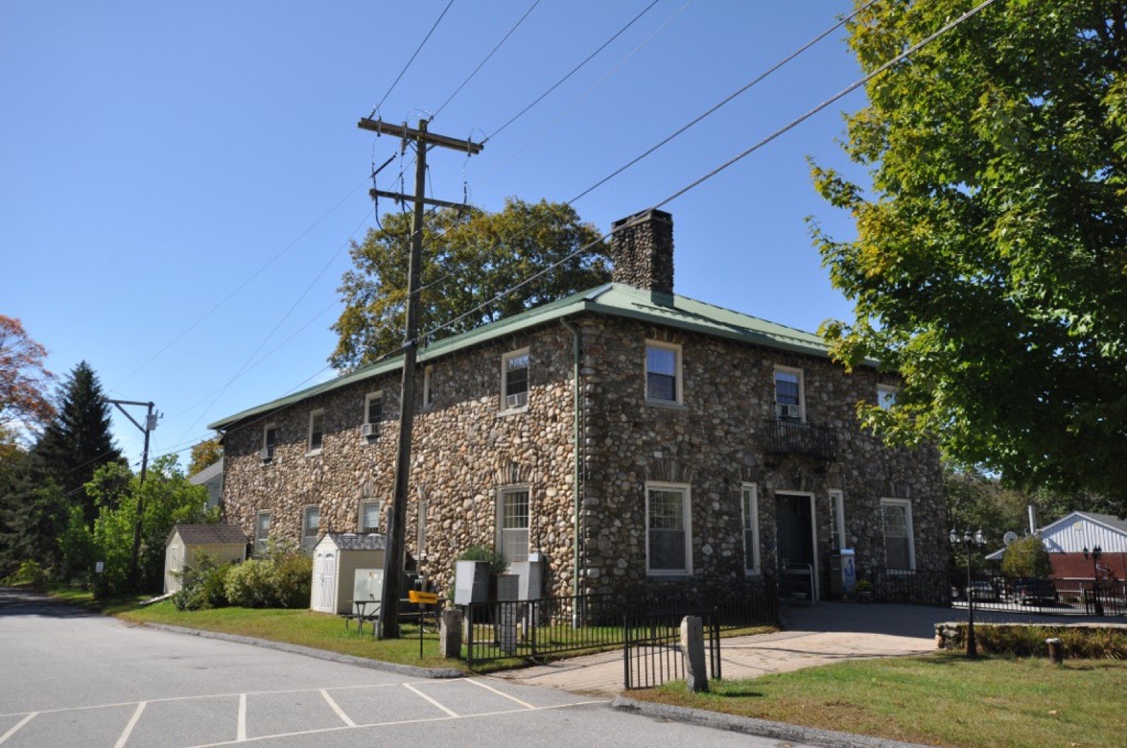
Ashford is a rural town in Windham County in Connecticut's Quiet Corner, split roughly down the middle by the Mount Hope River. It was founded in 1714, and the town of Eastford split off from it in 1847. Most of the land is forest, lakes and ponds rather than a dense village center.
Ashford uses the single 06278 ZIP code (Ashford station).
| Area | Zip code | Where it is |
|---|---|---|
| Ashford center | 06278 | The town hall and Ashford Congregational Church sit along Route 44 near the junction with Route 89. |
| Westford | 06278 | A village in the southern part of town along Route 89, home to Westford Congregational Church. |
| Warrenville | 06278 | A village along the Mount Hope River in the northern part of town. |
Ashford covers about 39.5 square miles and borders Eastford, Chaplin, Mansfield, Willington, Union and Woodstock. It was incorporated in 1714.
Start with Natchaug State Forest and Nipmuck Trail (Boston Hollow section), then 2 more below.
A state forest with the Natchaug Trail running through it, used for hiking, horseback riding, mountain biking and cross-country skiing. Backpacker and equestrian camping is available.
Kimball Rd, Ashford
Plan a visitA 4.2-mile stretch through Boston Hollow, a deep ravine in the Yale-Myers Forest, described by trail groups as the most rugged section of the Natchaug/Nipmuck trail system with a steep climb to a narrow vista.
Boston Hollow Rd, Ashford
Plan a visitA lake in the eastern part of town surrounded by the Lake Chaffee and Ashford Lake residential communities, used for fishing and boating by residents and association members.
Ashford Lake Rd, Ashford
A regional land trust with several nature preserves in Ashford open for walking and birdwatching.
Multiple preserves, Ashford
Plan a visitAshford was founded in 1714; Eastford was part of Ashford until it split off to form its own town in 1847.
President George Washington was delayed overnight in the village in 1789 when local law barred hiring a conveyance on a Sunday.
Knowlton Memorial Hall on Pompey Hollow Road and the Mixer Tavern on Westford Road are both listed on the National Register of Historic Places.
Ashford's land is mostly forest and water, with two state forests, several lakes, and a network of long-distance hiking trails.
2 places in Ashford to try, including pizza restaurant and diner / grill. No one paid to be listed.
Pizza restaurant
A pizza and grinder shop offering red-sauce and white pizzas, calzones and seafood pizzas, with pickup and delivery.
174 Ashford Center Rd, Ashford, CT · eatatmidway.com
Diner / grill
A casual walk-up grill and dairy bar serving burgers and ice cream.
Ashford, CT
Ashford has no walkable downtown; homes, businesses and civic buildings are spread along state routes and rural roads. A car is necessary for daily errands.
5 Town Hall Road, Ashford, CT 06278
Approximate, without traffic.
Ashford has no fixed-route public bus or rail service. The nearest Amtrak service is in Willimantic; the nearest bus connections are through Windham Region Transit District service in surrounding towns.
Ashford's 2026–27 mill rate is 27.80, which is $27.80 of tax for every $1,000 of assessed value. Connecticut taxes a home at 70% of its appraised value, so every $100,000 of value costs about $1,946 a year in taxes at 27.80 mills.
| 12 months ending | Single-family | Condo |
|---|---|---|
| Sep 2024 | $327,50020 sales | – |
| Sep 2025 | $380,00033 sales | – |
October to September, state records. Text us for this month's sales.
27.80mills, fiscal year 2026–27
| Fiscal year | Town rate |
|---|---|
| 2022–23 | 32.265 |
| 2023–24 | 33.085 |
| 2024–25 | 34.364 |
| 2025–26 | 36.377 |
| 2026–27 | 27.80 |
Ashford's town rate went from 32.265 in 2022–23 to 27.80 in 2026–27. Next revaluation: October 1, 2030.
What we check on a Ashford purchase: CHFA limits, the flood map, foundation testing and well & septic.
CHFA sets Ashford's income and price limits for Windham County. We check them with you before you shop.
See CHFA's limits mapThe Mount Hope River runs north-south through the middle of town and Bigelow Brook forms part of the eastern border, putting land along these waterways and around Ashford Lake and Lake Chaffee in FEMA-mapped flood zones. We check FEMA's map before you offer.
FEMA's flood map for AshfordAshford sits inside the core area affected by pyrrhotite-related crumbling foundations in concrete poured roughly between the early 1980s and early 2000s. Buyers of homes from that era should ask about foundation testing before making an offer.
Connecticut Foundation Solutions Indemnity CompanyThere is no public water or sewer system covering the town, so almost every property relies on a private well and septic system. Budget for a well and septic inspection as part of your offer.
All loans are subject to credit approval, underwriting, and property and program requirements. CHFA and USDA limits and eligibility are set by those agencies and change from time to time.

Send us a Ashford address and we'll run the numbers, taxes included.
Who to call in Ashford: Eversource for power.
Ashford Town Hall is at 5 Town Hall Road, Ashford, CT 06278. Hours: Monday, Tuesday, Friday 8:30 am–3 pm; Wednesday 10 am–6 pm; closed Thursday. Main line: 860-487-4400. Each link opens that office's page on the town's website.
The short answers. Call or text us for the long ones.
Ashford's 2026–27 mill rate is 27.80, which is $27.80 of tax for every $1,000 of assessed value. The motor vehicle rate is 27.80 mills.
Connecticut assesses homes at 70% of appraised value, so a $500,000 home would be assessed at about $350,000. At 27.80 mills that's about $9,730 a year, or about $811 a month. The actual bill depends on the town assessor's appraisal, not the price you pay.
In the 12 months from October 2024 through September 2025, the median single-family sale in Ashford was $380,000 across 33 sales, compared with $327,500 the year before.
Ashford's next revaluation takes effect October 1, 2030, on the state's schedule. The new assessments first show up on the tax bills due in July 2031.
Ashford is in Windham County, in Connecticut's Northeastern Connecticut Planning Region.
Ashford uses 06278.
No. Ashford does not run municipal curbside collection; residents use private haulers or the town transfer station.
No fixed-route bus or rail service runs through Ashford; a car is needed to get around.
Monday, Tuesday and Friday 8:30 am to 3 pm, Wednesday 10 am to 6 pm, and closed Thursday.
Neighbors of Ashford in Windham County and nearby. All Windham County towns.