

First-time buyer programs
MassHousing sets its own income and price limits for Worcester County. We check them with you before you shop.
MassHousing home loans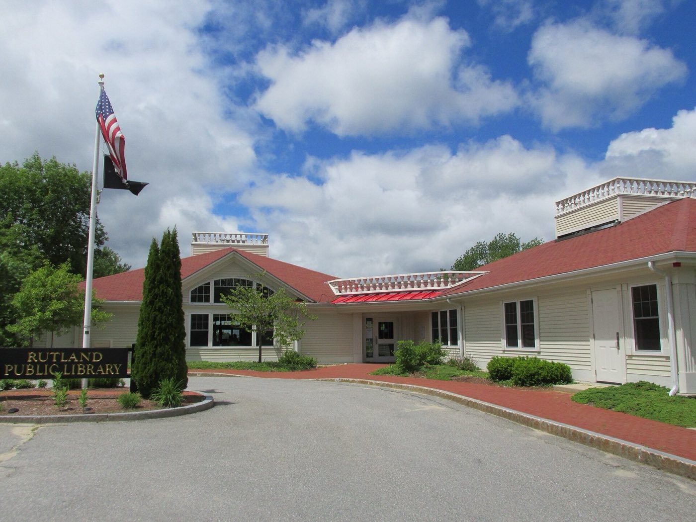
Rutland is a town in Worcester County about 13 miles northwest of Worcester, settled in 1666 and incorporated in 1713. It originally included the land that became Barre, Hubbardston, Oakham, Princeton and the northern half of Paxton. A marker known as Central Tree, near the town center, marks the geographic center of Massachusetts, and Rutland is described as the highest town between the Berkshires and the Atlantic coast.
Rutland uses a single ZIP code, 01543, for the whole town.
| Area | Zip code | Where it is |
|---|---|---|
| Rutland center | 01543 | Along Main Street, where Town Hall and the library are located. |
| New Boston | 01543 | A village section of town. |
| West Rutland | 01543 | A section in the western part of town. |
| Muschopauge | 01543 | A village section near Muschopauge Pond. |
Start with Rutland State Park and Mass Central Rail Trail, then 2 more below.
A 300-acre day-use state park centered on Whitehall Pond, with a freshwater beach, boat ramp, picnic areas and trails for hiking, biking and horseback riding. Camping is not allowed.
Rutland, MA
A rail-trail that passes through Rutland, including through the southern end of Rutland State Park, used for walking and biking.
Rutland, MA
A marker near the town center noting the geographic center of Massachusetts.
Rutland center
A memorial to Rufus Putnam, George Washington's chief engineer during the Revolutionary War and later a founder of settlements in Ohio.
Rutland, MA
The area now called Rutland was settled in 1666 and known by the Nipmuc name Naquag before the town was incorporated in 1713.
Rutland originally included the land that later became the towns of Barre, Hubbardston, Oakham, Princeton and the northern half of Paxton.
During the Revolutionary War, Rutland held a prison camp for captured Hessian mercenaries; Rutland native Rufus Putnam served as George Washington's chief engineer and later helped found settlements in Ohio.
Rutland State Park and the Mass Central Rail Trail give the town a swimming pond, hiking trails and a long-distance biking route.
Rutland center along Main Street has sidewalks near Town Hall and the library, but most of the town, including its rural outlying areas, is built for driving.
Approximate, without traffic.
Rutland has no fixed-route local bus or train service; it is about 20-25 minutes by car from Worcester.
Rutland's FY2026 residential tax rate is $13.87 per $1,000 of assessed value. Massachusetts assesses homes at full value, so each $100,000 of assessed value costs about $1,387 a year. The average single-family tax bill was $6,630, on an average assessed value of $477,981.
$13.87per $1,000, residential
Source: Massachusetts Division of Local Services, Tax Rates by Class and Average Single Family Tax Bill.
| Fiscal year | Residential rate |
|---|---|
| FY2022 | $15.79 |
| FY2023 | $13.72 |
| FY2024 | $14.83 |
| FY2025 | $14.24 |
| FY2026 | $13.87 |
What we check on a Rutland purchase: MassHousing limits, the flood map, the smoke certificate, smoke certificate, well & septic.
MassHousing sets its own income and price limits for Worcester County. We check them with you before you shop.
MassHousing home loansWhitehall Pond, Muschopauge Pond and other ponds and brooks in town put some low-lying parcels in Rutland within FEMA-mapped flood zones. We check FEMA's map before you offer.
FEMA's flood map for RutlandMassachusetts requires the seller to get a smoke and carbon monoxide certificate from the Rutland Fire Department before the sale closes.
Massachusetts sellers need a smoke and carbon-monoxide detector compliance certificate from the local Fire Department before a home can close. We build that inspection into the closing timeline.
Rutland is a largely rural town, so buyers should confirm whether a property relies on a private well and get a current Title 5 septic inspection before making an offer.
All loans are subject to credit approval, underwriting, and property and program requirements. MassHousing limits and eligibility are set by MassHousing and change from time to time.

We're licensed in Massachusetts. Send us a Rutland address and we'll run the numbers, taxes included.
Who to call in Rutland: The town runs a Rutland Community Electricity aggregation program for residents for power.
Rutland Town Hall is at 250 Main St, Rutland, MA 01543. Main line: 508-886-4100.
Rutland's FY2026 residential tax rate is $13.87 per $1,000 of assessed value. Massachusetts fiscal years run July 1 to June 30.
Massachusetts taxes homes on their full assessed value. If a home is assessed at $400,000, that's about $5,548 a year at $13.87 per $1,000. The bill uses the assessor's value, not the sale price.
No. Rutland uses a single rate of $13.87 per $1,000 for all property classes.
The average single-family tax bill in Rutland was $6,630 for FY2026, on an average assessed value of $477,981.
Rutland is in Worcester County.
Rutland uses a single ZIP code, 01543, for the whole town.
Rutland is about 13 miles from Worcester, roughly a 20-25 minute drive.
Rutland borders Princeton, Holden, Paxton, Oakham, Barre and Hubbardston.
Yes. Rutland State Park is a 300-acre day-use park centered on Whitehall Pond, with a beach, boat ramp and trails.
Rutland is part of the Wachusett Regional School District.
Neighbors of Rutland, including across the Connecticut line where it applies. All Massachusetts town guides.