

Petersham center
3 South Main Street, Petersham, MA 01366
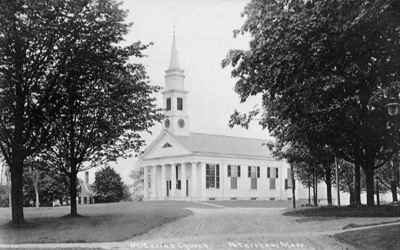
Petersham is the largest town by area in Central and Western Massachusetts, first settled by Europeans in 1733 and incorporated in 1754. Much of the town's land is protected or forested, including part of the Quabbin Reservoir, whose water mostly lies within Petersham and neighboring New Salem, and the Harvard Forest research property.
Petersham uses the 01366 zip code.
| Area | Zip code | Where it is |
|---|---|---|
| Petersham center | 01366 | Around Petersham Common at the junction of Routes 32 and 122, with Town Hall, churches, the library, and the Hutchinson Country Store. |
Start with Harvard Forest and Fisher Museum and Quabbin Reservoir, then 2 more below.
A 4,000-acre research forest operated by Harvard University since 1907, with self-guided interpretive trails, an observation tower, and the Fisher Museum, which is open weekends and features 23 dioramas on New England forest history.
Route 32, Petersham, MA
Plan a visitMost of the reservoir's water lies within Petersham and New Salem; the former Prescott Town Hall, moved from a town flooded to build the reservoir, now sits off Route 32 in Petersham.
Petersham, MA
A state forest in Petersham.
Petersham, MA
The town's historic village center, with spired churches, Town Hall, the Hutchinson Country Store, the library, and large historic homes.
Petersham center, MA
Petersham was first settled by Europeans in 1733 and officially incorporated on April 20, 1754.
In February 1787, Petersham was the site of the second battle of Shays' Rebellion.
Construction of the Quabbin Reservoir in the 1930s expanded Petersham's land, and today most of the reservoir's water lies within Petersham and New Salem.
Petersham's outdoor land includes Harvard Forest's trail network, the edge of the Quabbin Reservoir, and Federated Women's Club State Forest.
1 places in Petersham to try, including general store. No one paid to be listed.
General store
A historic country store on Petersham Common.
Petersham, MA 01366
Petersham Common has a small walkable core around the town green, but most of the town, which is over 70% protected land, is rural and built around driving.
3 South Main Street, Petersham, MA 01366
Approximate, without traffic.
Petersham has no fixed-route public bus or passenger rail service; state Routes 2, 32, 122, 32A, and 101 serve the town.
Petersham's FY2026 residential tax rate is $14.24 per $1,000 of assessed value. Massachusetts assesses homes at full value, so each $100,000 of assessed value costs about $1,424 a year. The average single-family tax bill was $5,707, on an average assessed value of $400,762.
$14.24per $1,000, residential
Source: Massachusetts Division of Local Services, Tax Rates by Class and Average Single Family Tax Bill.
| Fiscal year | Residential rate |
|---|---|
| FY2022 | $13.54 |
| FY2023 | $15.79 |
| FY2024 | $14.30 |
| FY2025 | $14.49 |
| FY2026 | $14.24 |
What we check on a Petersham purchase: MassHousing limits, the flood map, the smoke certificate, smoke & co certificate, wells & septic, protected & watershed land.
MassHousing sets its own income and price limits for Worcester County. We check them with you before you shop.
MassHousing home loansPetersham borders the Quabbin Reservoir, a public water-supply reservoir with development and access restrictions on adjoining state-owned watershed land. We check FEMA's map before you offer.
FEMA's flood map for PetershamMassachusetts requires the seller to get a smoke and carbon monoxide certificate from the Petersham Fire Department before the sale closes.
Petersham Fire Department pageSellers need a smoke detector and carbon monoxide alarm compliance certificate from the local fire department before a sale can close.
Petersham has no townwide public water or sewer system, so buyers should plan for well and septic inspections, including a Title 5 septic inspection before closing.
Petersham describes over 70% of its land as protected and about 90% as forested, including Harvard Forest and land bordering the Quabbin Reservoir; buyers near these areas should check for conservation restrictions or watershed rules before making an offer.
All loans are subject to credit approval, underwriting, and property and program requirements. MassHousing limits and eligibility are set by MassHousing and change from time to time.

We're licensed in Massachusetts. Send us a Petersham address and we'll run the numbers, taxes included.
Who to call in Petersham: National Grid for power.
Petersham Town Hall is at 3 South Main Street, Petersham, MA 01366. Hours: Monday 9am-5:30pm, Tuesday 9am-2:30pm, Wednesday 9am-noon, or by appointment. Main line: 978-724-3353.
Petersham's FY2026 residential tax rate is $14.24 per $1,000 of assessed value. Massachusetts fiscal years run July 1 to June 30.
Massachusetts taxes homes on their full assessed value. If a home is assessed at $400,000, that's about $5,696 a year at $14.24 per $1,000. The bill uses the assessor's value, not the sale price.
No. Petersham uses a single rate of $14.24 per $1,000 for all property classes.
The average single-family tax bill in Petersham was $5,707 for FY2026, on an average assessed value of $400,762.
Petersham uses ZIP code 01366.
National Grid is the electric utility serving Petersham.
Petersham is about 29 miles northwest of Worcester.
High school students attend Ralph C. Mahar Regional High School in Orange; younger students attend Petersham Center School.
No. Petersham has no fixed-route bus or passenger rail service.
Routes 2, 32, 122, 32A, and 101 serve the town; there are no interstate highways.
Neighbors of Petersham, including across the Connecticut line where it applies. All Massachusetts town guides.