

Ashburnham center
32 Main Street, Ashburnham, MA 01430
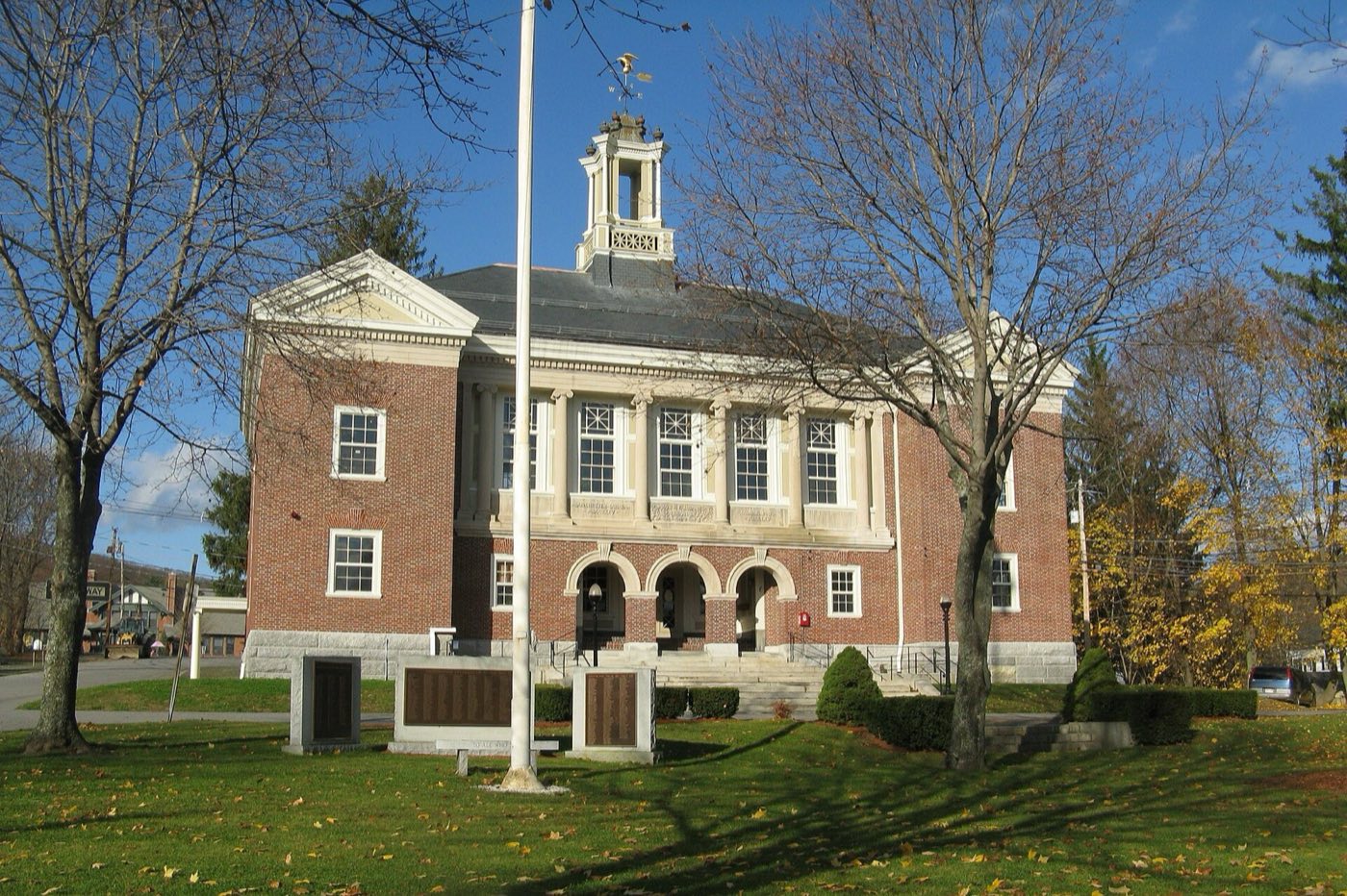
Ashburnham is a town in Worcester County near the New Hampshire line, settled in 1736 on land originally granted to soldiers of a 1690 expedition to Canada as the "Plantation of Dorchester-Canada," and incorporated in 1765. The town includes the village of South Ashburnham and is the starting point for both the Wapack Trail and the Massachusetts Midstate Trail.
Ashburnham uses ZIP code 01430.
| Area | Zip code | Where it is |
|---|---|---|
| Ashburnham center | 01430 | The town's main village along Main Street, where Town Hall and the fire department are located. |
| South Ashburnham | 01430 | A village in the southern part of town, near the Gardner line. |
Start with Mount Watatic and Wapack Trail, then 1 more below.
A 1,832-foot summit with open ledges and views into New Hampshire, reached by a short, popular hike. It is the northern terminus of the Massachusetts Midstate Trail and a stop on the Wapack Trail.
Route 119, Ashburnham, MA
A roughly 21-mile ridgeline hiking trail running from Ashburnham north into New Hampshire, connecting a chain of hills.
Trailhead off Route 119
A private preparatory boarding school founded in 1865, with a campus in the town center that includes public-facing arts and music events.
Ashburnham, MA 01430
Plan a visitAshburnham was settled in 1736 on land originally granted as the "Plantation of Dorchester-Canada" to officers and soldiers of a 1690 expedition to Canada, and was incorporated as a town in 1765.
Ivers Whitney Adams, a founder of Boston's first professional baseball team, the Boston Red Stockings, was an Ashburnham native who later funded the town's water supply.
Actress Bette Davis lived in Ashburnham while attending Cushing Academy, graduating in 1927.
Ashburnham's hills along the New Hampshire border give it ridgeline hiking, including the start of two long-distance trails.
Ashburnham center has sidewalks around Town Hall and Main Street businesses, but most of the town, including South Ashburnham and its rural roads, is built for driving.
32 Main Street, Ashburnham, MA 01430
Approximate, without traffic.
The Montachusett Regional Transit Authority (MART) operates fixed-route bus, shuttle and para-transit service in the area. Ashburnham has no passenger rail station; the nearest MBTA Commuter Rail service is on the Fitchburg Line.
Ashburnham's FY2026 residential tax rate is $14.87 per $1,000 of assessed value. Massachusetts assesses homes at full value, so each $100,000 of assessed value costs about $1,487 a year. The average single-family tax bill was $6,246, on an average assessed value of $420,061.
$14.87per $1,000, residential
Source: Massachusetts Division of Local Services, Tax Rates by Class and Average Single Family Tax Bill.
| Fiscal year | Residential rate |
|---|---|
| FY2022 | $18.88 |
| FY2023 | $16.55 |
| FY2024 | $15.75 |
| FY2025 | $14.87 |
| FY2026 | $14.87 |
What we check on a Ashburnham purchase: MassHousing limits, the flood map, the smoke certificate, no curbside trash, smoke certificate, wells & septic.
MassHousing sets its own income and price limits for Worcester County. We check them with you before you shop.
MassHousing home loansUpper Naukeag Lake and the streams draining Ashburnham's hills put some low-lying parcels in FEMA-mapped flood zones. We check FEMA's map before you offer.
FEMA's flood map for AshburnhamMassachusetts requires the seller to get a smoke and carbon monoxide certificate from the Ashburnham Fire Department before the sale closes.
Ashburnham does not run town curbside trash collection. Residents use a permit-based transfer station or contract directly with one of the town's approved private waste haulers.
Learn moreMassachusetts sellers need a smoke and carbon monoxide detector certificate from the local fire department before a home sale can close. In Ashburnham, that inspection is scheduled through the Fire Department.
Learn moreTown sewer covers parts of the village areas, but many outlying parcels rely on private wells and septic systems. Buyers should confirm which utilities serve a specific property before making an offer.
All loans are subject to credit approval, underwriting, and property and program requirements. MassHousing limits and eligibility are set by MassHousing and change from time to time.

We're licensed in Massachusetts. Send us a Ashburnham address and we'll run the numbers, taxes included.
Who to call in Ashburnham.
Ashburnham Town Hall is at 32 Main Street, Ashburnham, MA 01430. Hours: Monday-Thursday, 7:00 AM-5:00 PM; closed Fridays. Main line: 978-827-4100.
Ashburnham's FY2026 residential tax rate is $14.87 per $1,000 of assessed value. Massachusetts fiscal years run July 1 to June 30.
Massachusetts taxes homes on their full assessed value. If a home is assessed at $400,000, that's about $5,948 a year at $14.87 per $1,000. The bill uses the assessor's value, not the sale price.
No. Ashburnham uses a single rate of $14.87 per $1,000 for all property classes.
The average single-family tax bill in Ashburnham was $6,246 for FY2026, on an average assessed value of $420,061.
Ashburnham is in Worcester County.
No. Ashburnham has a permit-based transfer station; residents can also use an approved private hauler for curbside service.
Ashburnham uses ZIP code 01430.
Municipal water comes from the Ashburnham & Winchendon Joint Water Authority, drawing from the spring-fed Upper Naukeag Lake.
Ashburnham is about 12 miles from Fitchburg, roughly a 20-25 minute drive.
Ashburnham borders Winchendon, Ashby, Gardner and Westminster in Massachusetts, and Rindge and New Ipswich in New Hampshire.
Neighbors of Ashburnham, including across the Connecticut line where it applies. All Massachusetts town guides.